
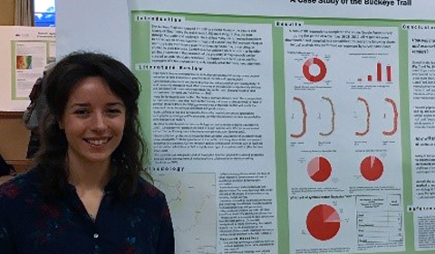
Carolyn Kinzel with her capstone research poster
on “Mapping Risk: Forecasting Future Land Use Risk and Multi-Use Trail Conflict: A Case Study of the Buckeye Trail.”
Carolyn Kinzel ’18 will graduate this spring with a Geographic Information Science major, but instead of hitting the job market she will be joining her fellow Air National Guards on a deployment.
In addition to being an accomplished geography major with a promising future, Kinzel is a Senior Airman and a loadmaster for C-130 aircraft in the Air National Guard’s 179th Airlift Wing. As the Bellville, Ohio, native combined her military and scholastic duties, she completed an internship at the Buckeye Trail Association in Shawnee, Ohio, and developed a senior capstone project on “Symbolizing and Mapping Risk.”
Mapping Future Use, Trail Conflict of the Buckeye Trail
For the past few years the Geography Department has required all majors to complete a research project as part of the senior capstone.
For her project, Kinzel assessed ways to represent risk or temporal uncertainty at multiple scales on the Buckeye Trail. The 1,400-mile trail loops around Ohio and has numerous multipurpose sections, including hiking, horse backing. The trail results from a patchwork of agreements with private land owners, public parks, and others. Access to private land typically has been gained through conservation easements or other agreements, although most of these agreements have a relatively short lifespan.
Kinzel assessed ways to represent both multipurpose portions of the trail and portions of the trail that could be at risk if conservation easements are not renewed. She developed an online survey asking people to interpret map symbols that are designed to represent multipurpose portions of the trail and “at risk” portions at two scales. She received feedback from nearly 90 respondents and presented her analysis at the annual capstone poster session, where more than 40 students presented posters of their own research.
Her poster was titled “Mapping Risk: Forecasting Future Land Use Risk and Multi-Use Trail Conflict: A Case Study of the Buckeye Trail.”
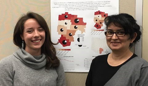
Carolyn Kinzel and instructor Ana Mojica-Myers (M.A., 2009) with Kinzel’s cartography class project.
Kinzel has been mentored by Geography alum Ana Mojica-Myers, who earned a Masters of Environmental Science in 2007 and a M.A. in Geography in 2009 from the College of Arts & Sciences. Since 2015 Mojica-Myers has played a critical role in the department by teaching Cartography and Introduction to GIS and Mapping, and mentoring students like Kinzel.
Kinzel is not sure where she will be deployed, but when she resumes her civilian career she would like to apply her cartography and geospatial skills by working for the Department of Defense or in the intelligence sector.


Comments